How Spatial Computing Software Is Shaping the Future of Intelligent Systems
As technology continues to move forward, computers and machines are learning to better understand and respond to the world around them. One major advancement in this area is spatial computing software. That helps machines sense and interpret physical space so they can move, act, and react safely and effectively in real-world environments. It’s already being used in areas like robotics, virtual and augmented reality, and self-driving systems—and it’s only becoming more important.
While hardware like cameras, sensors, and processors play a role, it’s really the software that makes sense of everything. It gives machines the ability to think, learn, and respond. In this article, we’ll walk you through what spatial computing software does, why it matters, and how it’s shaping the future of technology across industries.
What Does Spatial Computing Software Do?
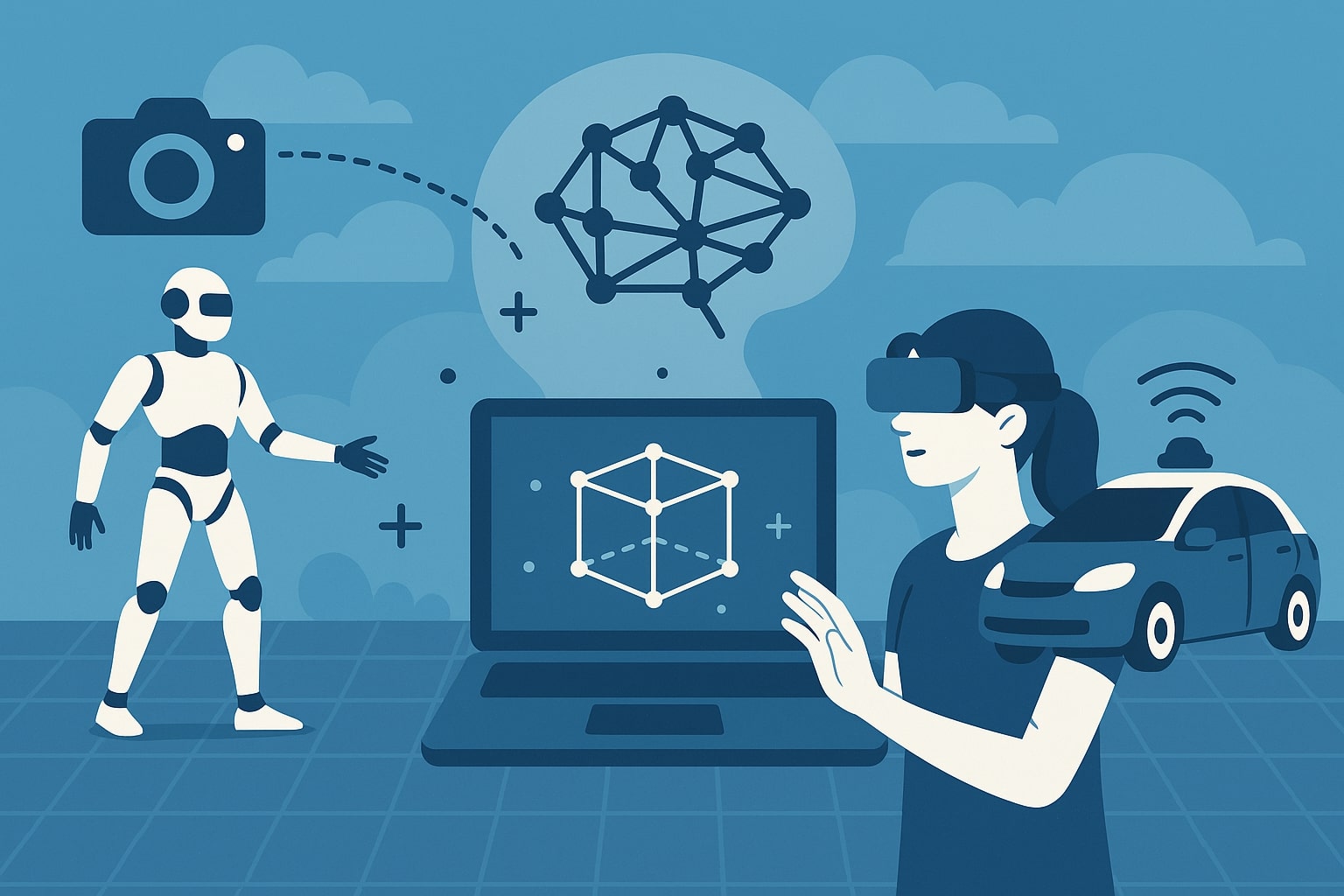
Spatial computing is all about understanding the physical world. It allows devices—like robots, drones, or smart glasses—to know where they are, what’s around them, and how they’re moving through space. This understanding is critical for performing tasks in environments that are constantly changing.
Spatial computing software gathers data from many sources, including GPS, lidar, depth sensors, and cameras. It processes this data to create a 3D map of the surrounding area. With that map, a device can then:
- Move safely without hitting obstacles
- Track people or objects
- Perform tasks that require spatial awareness, like picking up tools or navigating a room
In simple terms, the software gives machines the ability to “see,” “analyze,” and “decide.” This makes it possible for them to work independently in the real world.
How It Helps Robots Work Better
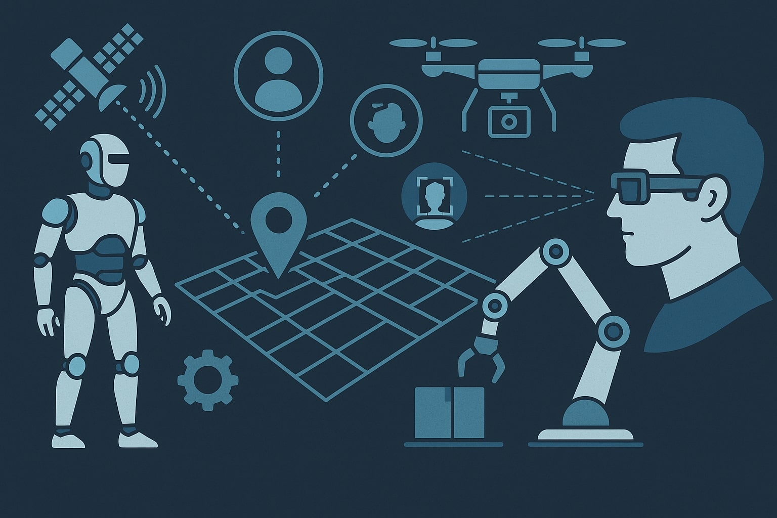
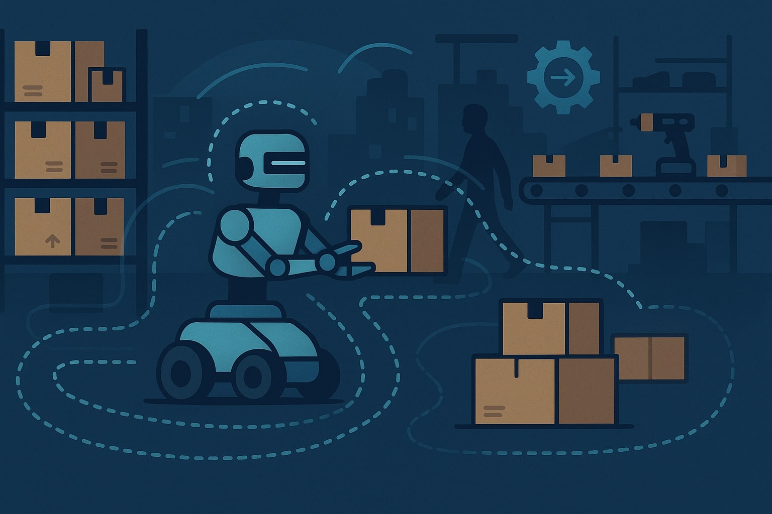
Robots are being used more and more in places like warehouses, hospitals, farms, and construction sites. These environments are busy and unpredictable. Robots need to be able to move around safely, adapt to obstacles, and interact with objects or people. Spatial computing software makes all of this possible.
Robotic systems using spatial software can:
- Create and continuously update 3D maps
- Navigate through complex spaces with many moving parts
- Detect and identify objects, tools, or people
- Make decisions in real-time when conditions change unexpectedly
Without this software, robots would have to rely on fixed paths or constant human control. With it, they can respond to their environment and work more independently. This increases efficiency and opens new possibilities for automation.
Examples include robots that sort packages, harvest crops, deliver medical supplies in hospitals, and assist with warehouse inventory checks. These aren’t just futuristic ideas—they’re happening today, and software is what makes it all possible.
Making AR and VR More Realistic and Useful
Augmented reality (AR) and virtual reality (VR) are technologies that blend the physical and digital worlds. AR adds digital elements to the real world, while VR creates fully immersive digital environments. Spatial computing software plays a huge role in making these experiences accurate and believable.
For AR/VR to work properly, the software needs to:
- Understand the shape and layout of a room
- Track where a person is looking or moving
- Place virtual objects in ways that feel natural
- Let users interact with digital content through gestures or voice
For example, an AR app used for training aircraft mechanics might overlay virtual instructions directly onto an engine, showing the user what to do step-by-step. In VR, students can explore historical sites or conduct science experiments in a simulated lab. None of this would be possible without the spatial computing software that maps the space and handles interactions.
Industries like healthcare, construction, education, and manufacturing are now using AR and VR to save time, reduce errors, and train workers more effectively. And behind the scenes, it’s the software that keeps these systems running smoothly.
Going Beyond Robots: Autonomy in Other Systems
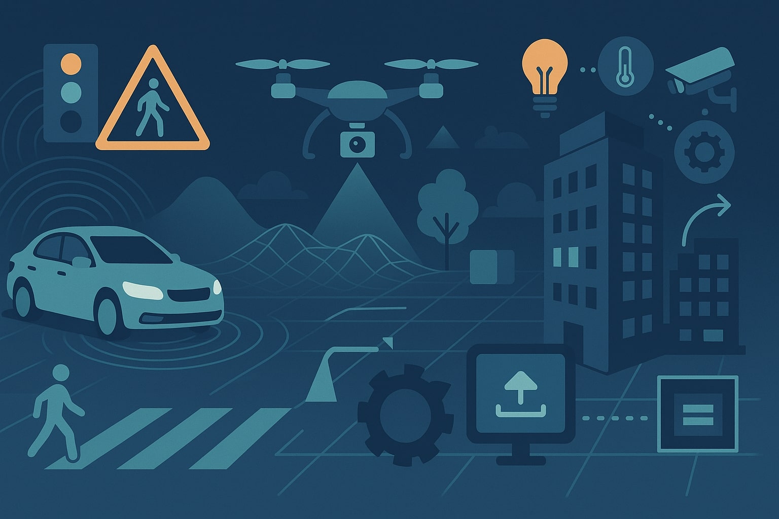
While robots are a big use case, spatial computing software powers many other types of autonomous systems. These are systems that can perform tasks without constant human control. Some common examples include:
- Self-driving cars, which need to understand traffic, road signs, and pedestrians
- Drones, which fly over fields or inspect power lines and buildings
- Smart buildings, which use spatial data to adjust lighting, heating, or security
Let’s take drones as an example. A drone inspecting solar panels on a farm needs to:
- Scan and understand the terrain
- Fly around obstacles like trees or equipment
- Adjust its path in real time if the wind changes
- Share data with a control center or cloud system
The drone needs to do all this safely and efficiently, often without human help. That’s only possible with strong, smart software that understands how to move and interact within the space around it.
Building Smarter, Scalable Software
High-quality spatial computing software is designed to be both flexible and scalable. That means it should be able to grow with a project—from early prototypes to full-scale deployment—and integrate well with other tools and platforms.
Well-architected spatial software often includes:
- Modular design, allowing features to be added or removed easily
- Cross-platform compatibility, so it runs on different devices
- Cloud connectivity, to store and process spatial data efficiently
- AI integration, so systems can learn from new data and improve over time
Developing this kind of software often involves testing in real-world conditions, optimizing for different hardware setups, and providing developer tools for integration. As spatial computing use cases expand, building software that is reliable, secure, and adaptable is essential.
What’s Coming Next in Spatial Software?
Spatial computing software is evolving quickly. As technology advances, the software needs to keep up—and even get ahead. Here are some trends to watch:
- Edge computing: Instead of sending data to the cloud, devices process it locally. This improves speed and privacy.
- Federated learning: Devices can learn from each other without sharing personal data. This supports privacy and performance.
- Open spatial APIs: Shared tools help developers build new apps faster.
- Simulation platforms: Developers can test how their software performs in 3D environments before real-world use.
We can also expect more collaboration between companies, research institutions, and governments to create standards and shared infrastructure. This will make spatial computing systems more accessible and interoperable across industries.
Let’s Work Together on Your Spatial Software Project
If you’re working on a robotics project, developing a new AR/VR tool, or building an autonomous system that operates in the real world, the software behind it will be one of your most important assets. A well-designed spatial computing software solution can help machines understand their surroundings and perform complex tasks reliably.
Get in touch with us to talk about how we can help bring your vision to life. Whether you need a complete system or help integrating spatial computing features into an existing product, we’re ready to collaborate.

